Is it possible to identify glacial features while driving down the road? Discover the answers by watching this Serious Science video and reading the information below. And to take this learning adventure into your classroom, have your teacher download the free Lesson Activities at the bottom of this page so everyone can share in the fun of this inquiry based learning.
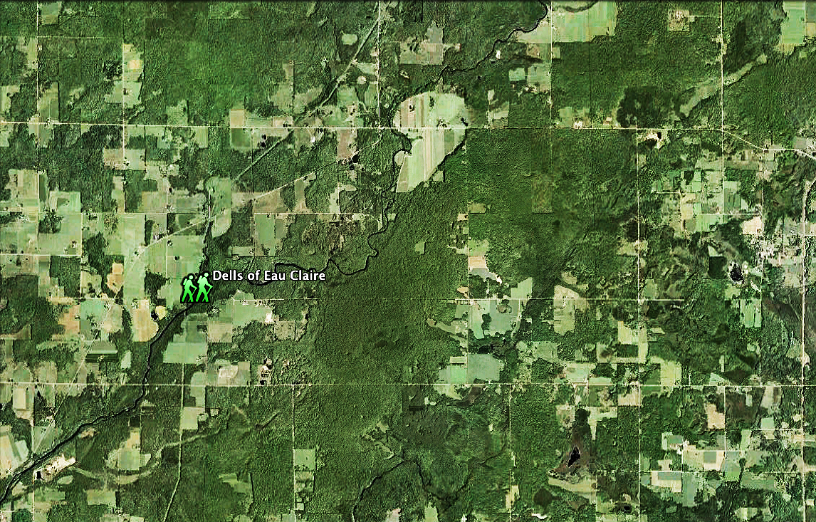
You might not realize it, but much of the Midwestern landscape that we see today was shaped by continental glaciers between 15,000 to 25,000 years ago. Hey, we wouldn't kid you, it's for real. These glaciers shaped the land in several ways. The ice that flowed slowly across the land both sculpted and deposited certain glacial features under the ice. When the ice front stopped flowing, ice meting at the front of the glacier deposited soils, sand and rocks trapped in the ice and formed other features. Even rivers that flowed on top of and beneath the glaciers deposited sand and gravel that formed some odd features. So what are some of these ice age features and how can we identify them? Okay we know that you're not a glacial geologist, but we'll give you an edge by using your computer.
To learn how, simply watch this video. Yeah, we suppose you could take some notes while you're at it, plus, read the "Learn More" section. To really explore some cool stuff about the landscape, use the Companion Lesson Guide below in your school so the whole class can become earth science geeks.
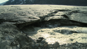
Plus, the educational partner noted below supported the video and lesson content here for all of us to learn from. They also offer other learning opportunities on their website. So click on their logo to discover more!